SEETIES In 2010, Erich Fisher used open data to create these maps. Tourist destinations, cities and places, change every year and it would be interesting to compare this visual research with an updated version. It would also be interesting to use these data and their visualisation to help mass tourism to spread in the territories with the mission on the one hand to make too touristy cities more liveable for citizens and on the other hand to promote places like suburbs, forgotten neighbourhoods or villages suffering from depopulation. “Tourists VS Locals” is becoming an increasingly important issue worldwide and we should learn to use creativity also to try to create possible solutions to this contemporary urban tension that someone call overtourism or tourismphobia.
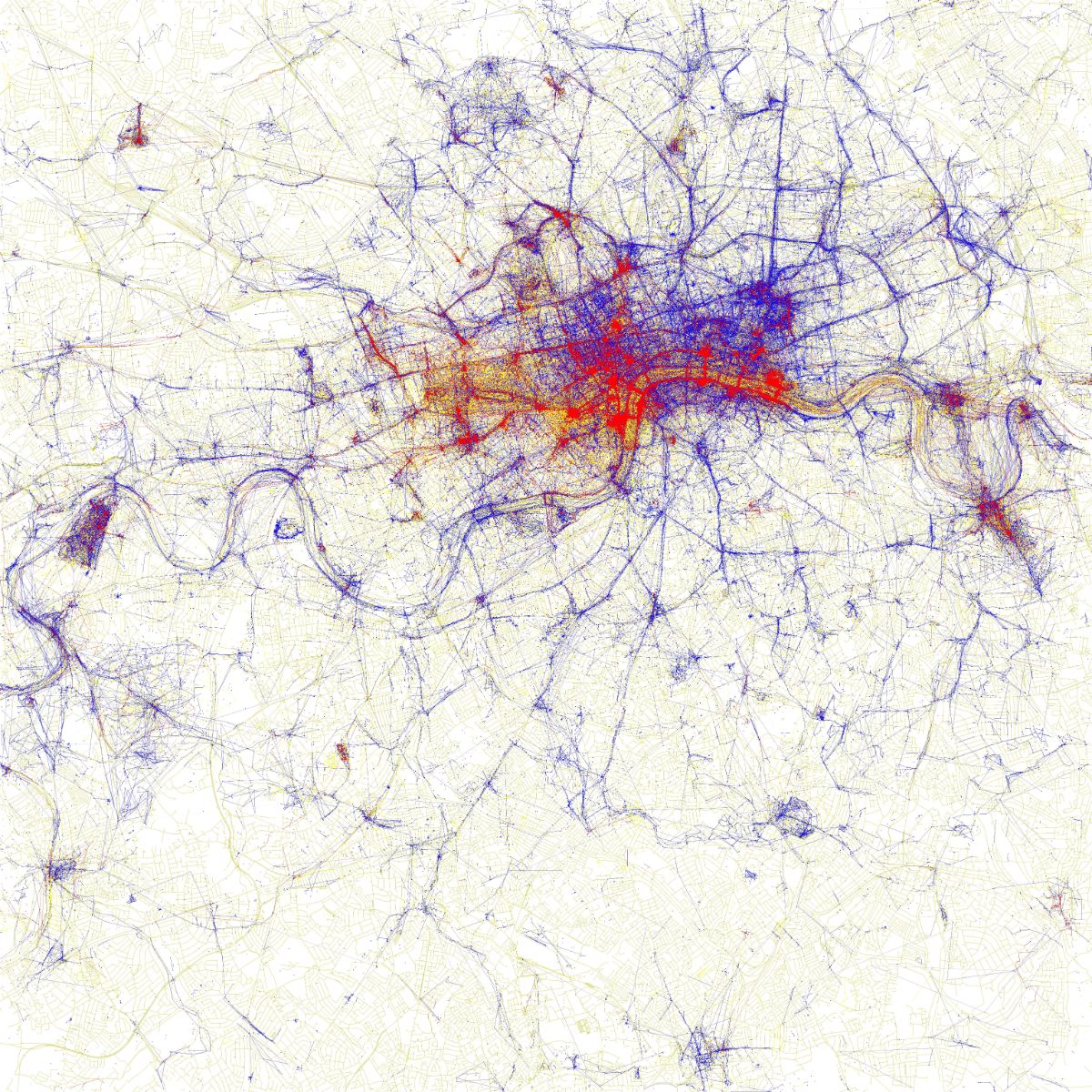
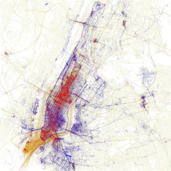
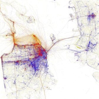
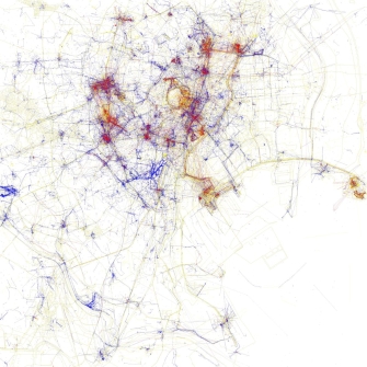
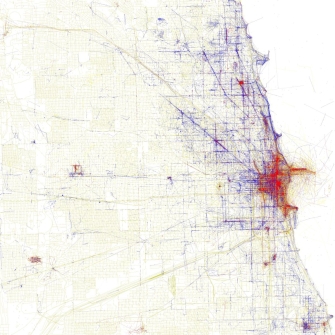
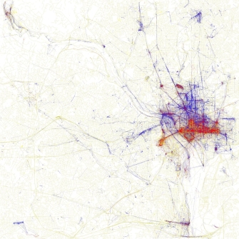
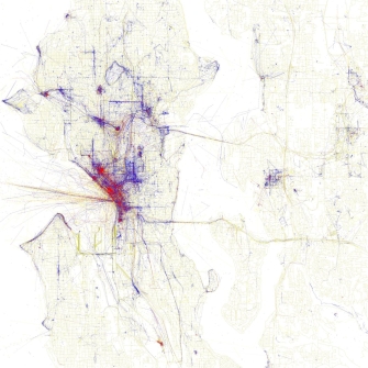
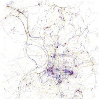
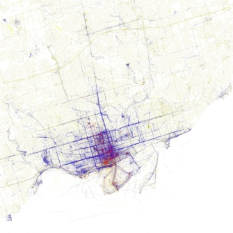
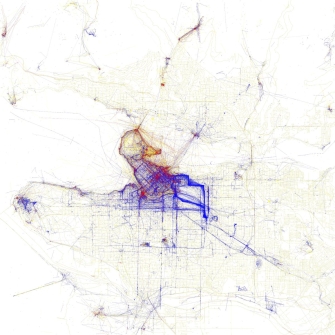
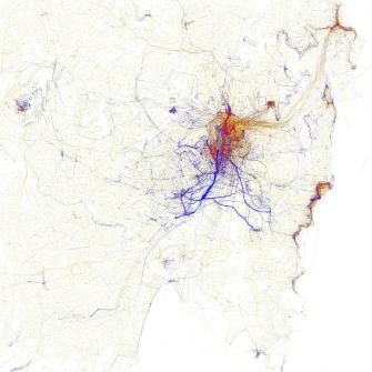
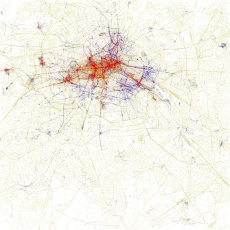
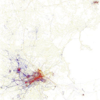
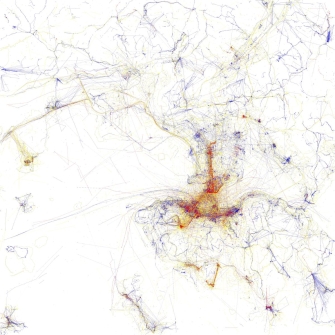
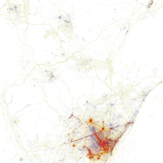
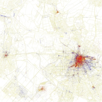
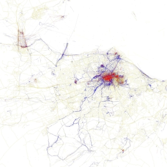
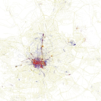
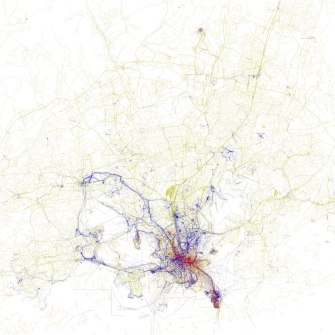
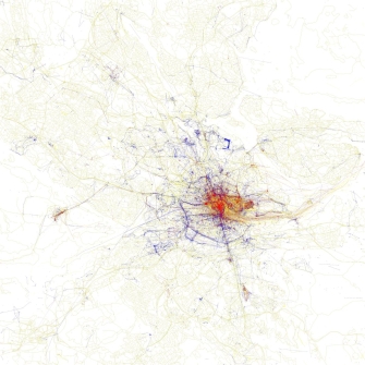
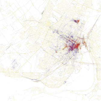
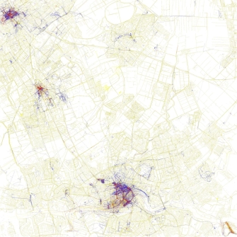
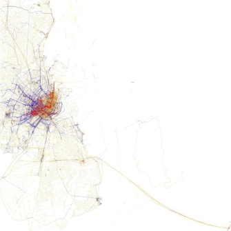
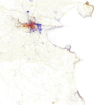
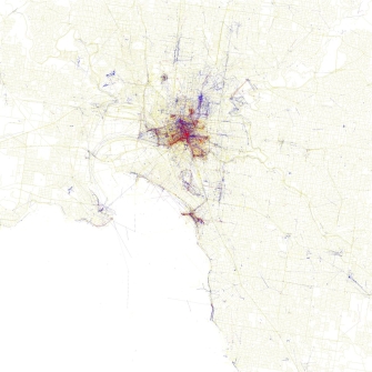
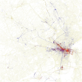
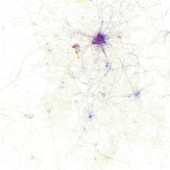
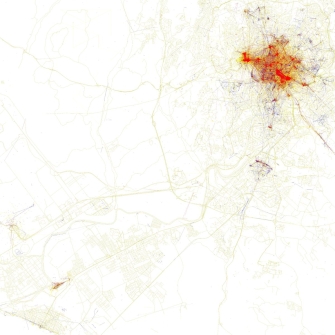
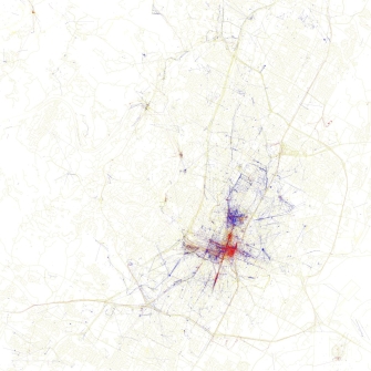
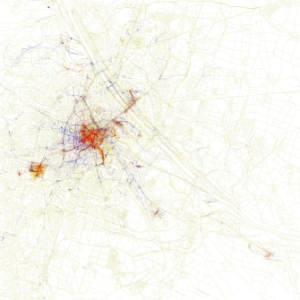
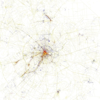
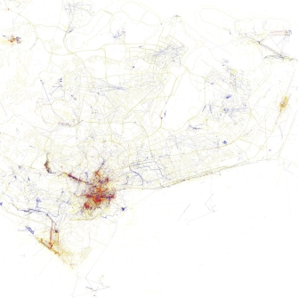
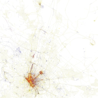
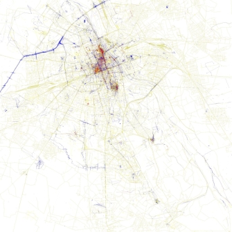
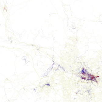
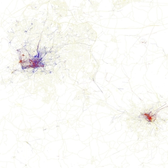
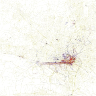
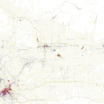
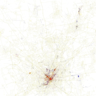
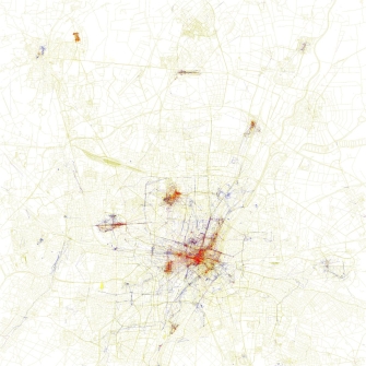
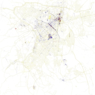
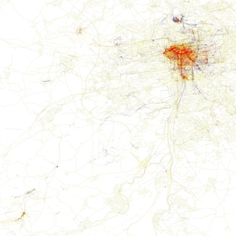
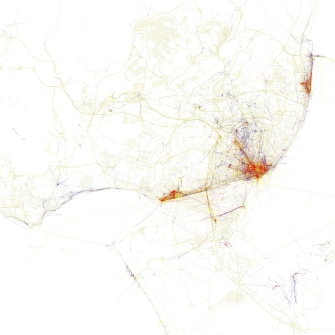
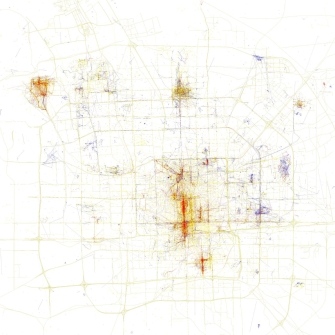
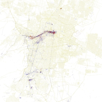
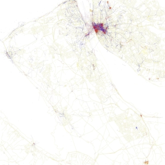
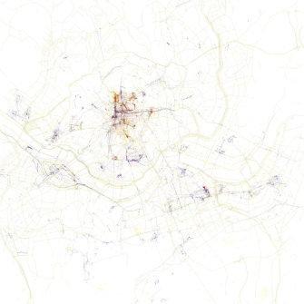
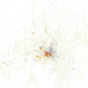
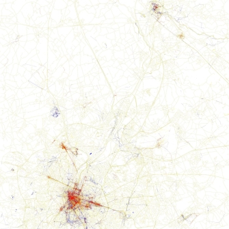
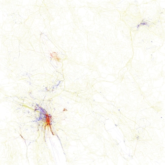
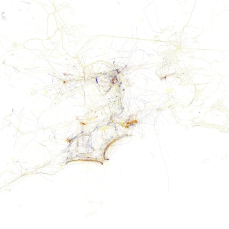
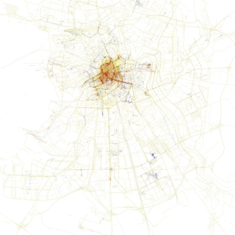
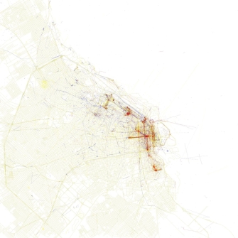
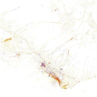
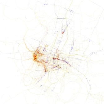
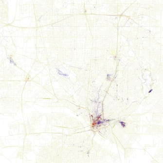
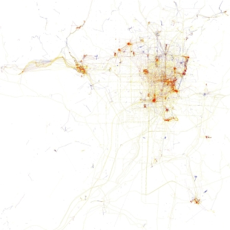
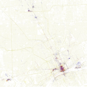
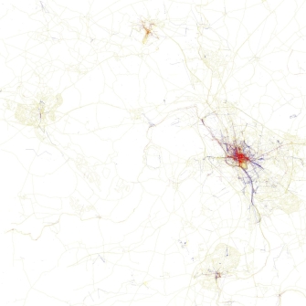
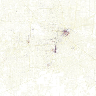
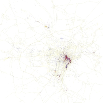
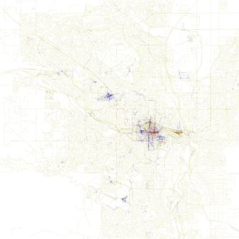
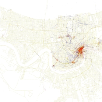
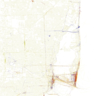
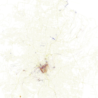
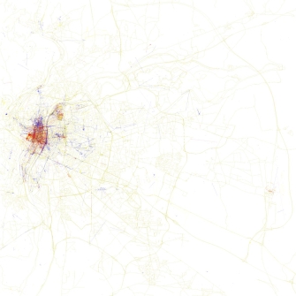
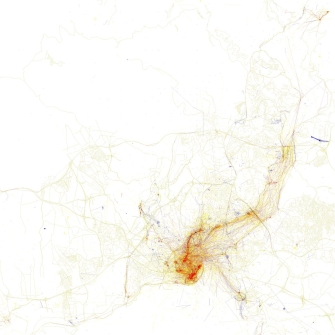
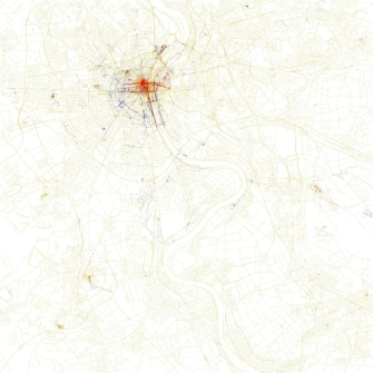
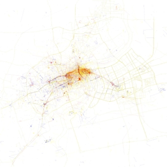
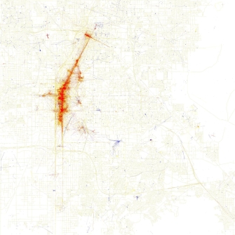
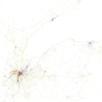
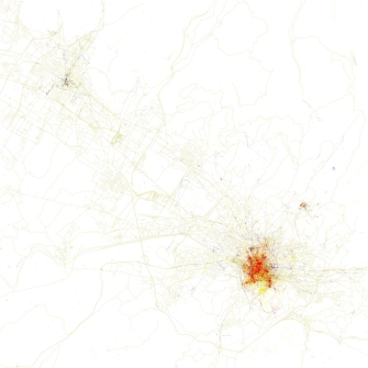
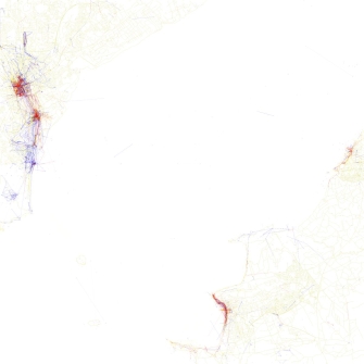
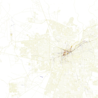
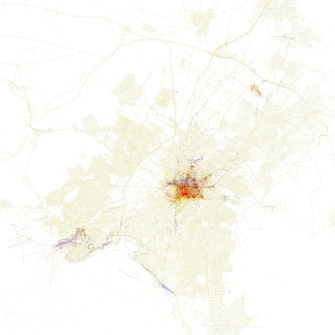
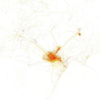
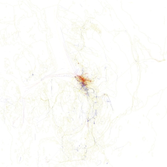
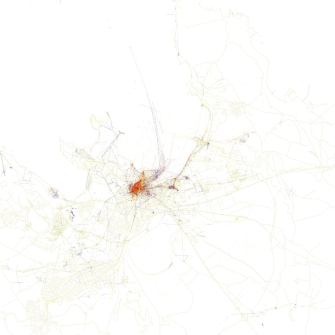
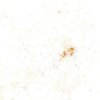
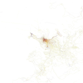
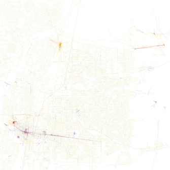
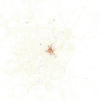
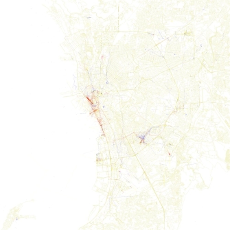
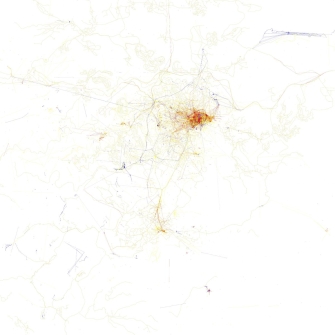
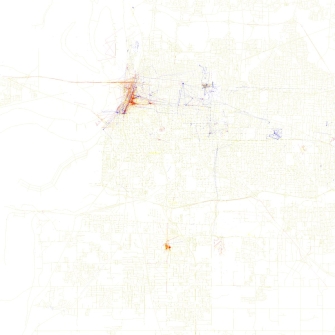
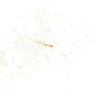
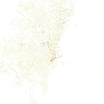
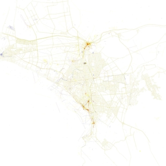
You can browse through the gallery and discover more about “The Geotaggers’ World Atlas Maps – Locals & Tourists” project by data artist Eric Fisher here below. (Blue = locals + Red = tourists + Yellow = don’t know)


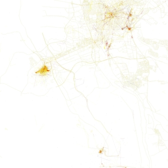
Eric Fisher introduces his “Locals and Tourists” visual research this way:
“Some people interpreted The Geotaggers’ World Atlas Maps to be maps of tourism. This set is an attempt to figure out if that is really true. Some cities (for example Las Vegas and Venice) do seem to be photographed almost entirely by tourists. Others seem to have many pictures taken in places that tourists don’t visit. Blue points on the map are pictures taken by locals (people who have taken pictures in this city dated over a range of a month or more). Red points are pictures taken by tourists (people who seem to be a local of a different city and who took pictures in this city for less than a month). Yellow points are pictures where it can’t be determined whether or not the photographer was a tourist (because they haven’t taken pictures anywhere for over a month). They are probably tourists but might just not post many pictures at all.”
In 2010-2011, as a map base, Eric Fisher used OpenStreetMap while he took the photo locations from the public Flickr and Picasa search APIs. In 2013, with the same concept, he has developed a new interactive map on MapBox, this time based on Twitter data collected in the years 2011-2013. Now we are waiting for the next mapping!


